| < Previous page | Next page > |
File Menu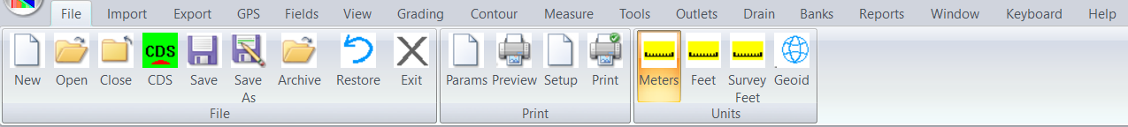
New:
Opens up a new job. It will be empty. You can import data into the job.
Open:
Opens up an existing job. This job can be created in CDS as well.
Close:
Closes the existing job.
CDS:
Close this job in Ezigrade and open it within CDS
Save:
Save existing job and continue working.
Save As:
Save existing job with a new name and continue working.
Archive:
Save current state of the job in an archive. This allows us to restore or go back in time
Restore:
Open up Archive file. This allows us to restore the job to previous snapshots.
Exit:
Close down Ezigrade and save all open jobs.
Plot View Parameters:
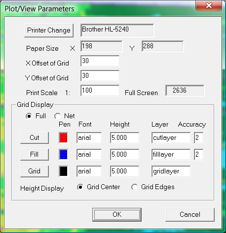
These parameters can be set if you wish to print out job in a similar format to that displayed upon the screen. However we suggest you look at the Report menu item.
Print:
Print out the job using the parameters displayed above
Print Preview:
Display representation of what is printed out on the screen.
Elevation Plot Setup:
This brings up a dialog where you can set the colour to be used for cut/fill printout.
You can then run "Elevation Plot preview" and "Elevation Plot"
Meters, Feet, Survey Feet:
Make sure this set appropriately to match the units you are using.
Geoid:
This allows us to set Geographic grid we are using. Set to none if using local coordinates or you don't know.
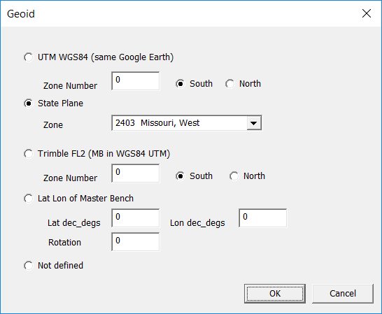
A geodetic grid is a method of representing Earth which is like a squashed sphere on a flat bit of paper.
At present we have 4 options.
WGS84: World Geodetic Survey 1984 using UTM (Universal Transverse Mercator) system. This is a universal system as used by Google Earth, Google and Bing maps etc. We suggest if possible you use this system for compatability with Google Earth etc.
State Plane. As used in the United States. All zones are supported. We suggest you use the units that are default to the State Plane Zone. As State Plane Zones are generally smaller than UTM zones you should get a better flat earth representation of your data.
Trimble FL2. We don't know which geodetic system Trimble is using. When we import Field Level 2 data we just assume the MB is based on WGS84 and create appropriate Eastings and Northings. However Trimble uses a true north. We can correct for this as appropriate.
Lat/Lon of MB. Please enter Lat/Lon in decimal degrees and a rotation. As Ezigrade jobs are relatively small any differences in projections etc make next to no difference in practise.
Not defined. Use this option if you don't know or are using a local coordinate system.
The contents of File Menu |