Powerful land grading / land forming software for agriculture. Low price and no ongoing per acre fee's.
Survey Simplified
Easy Section Design
Grade for Drainage
Create Surface Drain
Create Contour Bank
Create Bank Network
Tile Drainage
Export to favourite Grading Hardware
Survey Simplified:
Collect the field elevations using the method that suits you best. Ezigrade will work with elevations on a grid, or random elevations.
Pickup data using Ditch Assist, Trimble Field Level2, AMW(Geologic), Farmscan, Lidar via drones etc.
Import directly from other packages using ESRI shape file, csv, multiplane, dwg and others.
Alternatively pick up the data directly using the Ezigrade inbuilt GPS functions.
Easy Section Design:
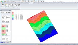
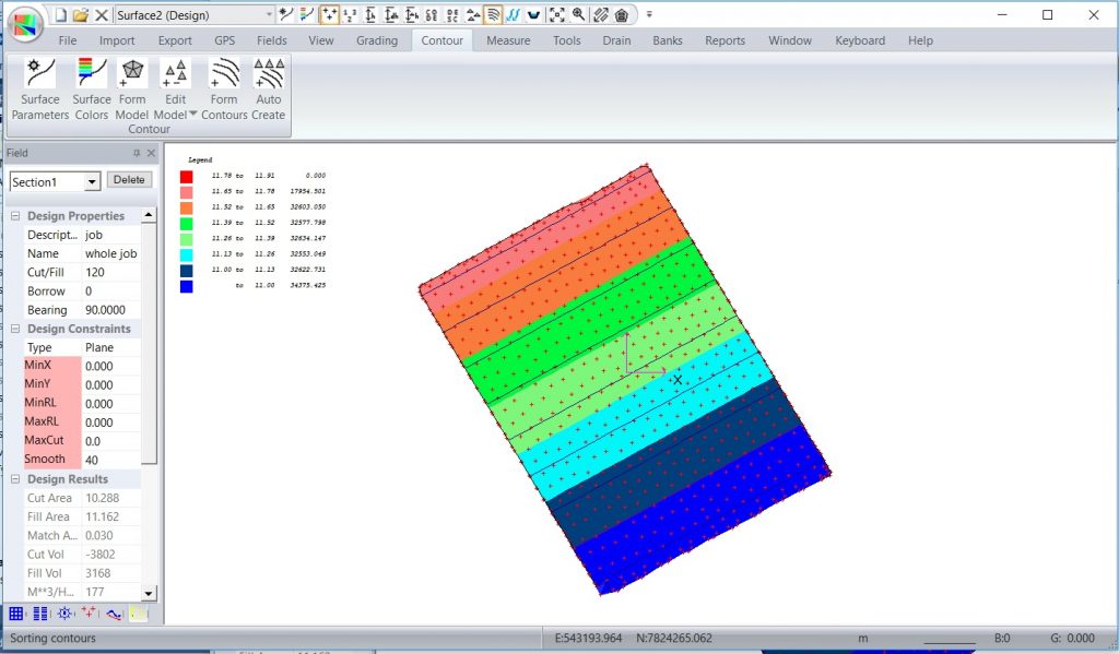
If you have a job that contains a single section, then there is nothing else to do. You can go straight to grading. |
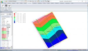
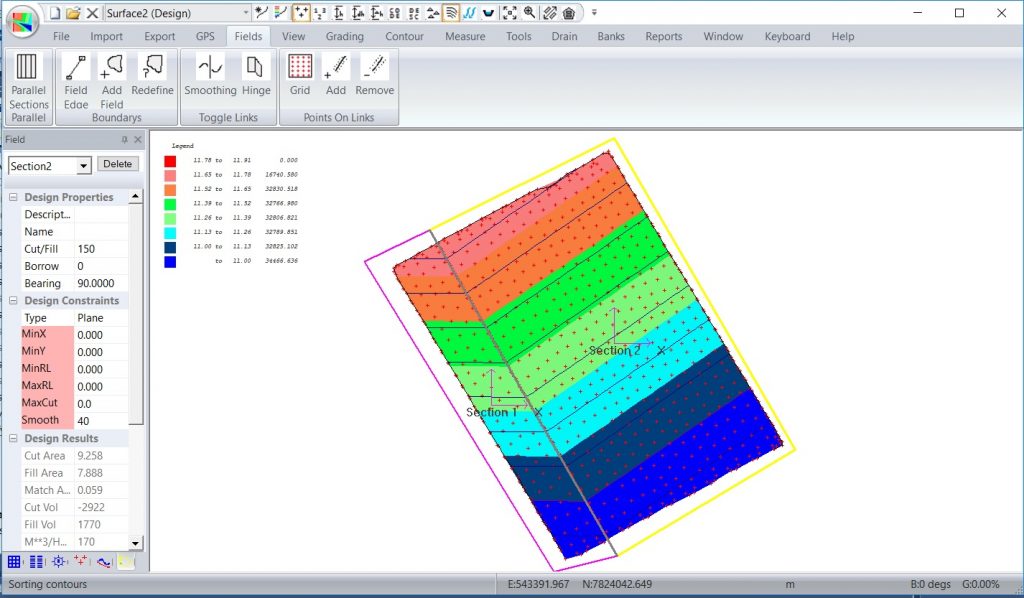
Easily split your job into logical sections. Simply click and move. Set parameters for each section. |
Grade for Drainage:
Specify the cut/fill compaction ratio to suit the soil properties for each section.
You can set the required slopes in one or both directions to ensure consistent water flow, whether from irrigation or drain
The total amounts of cut and fill, and the elevations of each of the points are updated instantly as you change the design to suit the local requirements.
With the press of a button, Ezigrade will apply the latest software techniques (including linear programming) to determine either:
- Plane of best fit
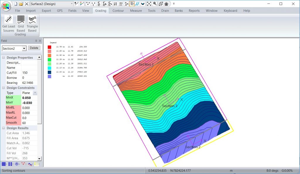
- Plane of best fit with hinges
- Constrained grade of best fit
- Constrained grade - water flows to the edge
- Solutions containing planes and constrained grades's
Plane of best fit.
Hinged planes of best fit.
Constrained grade of best fit.
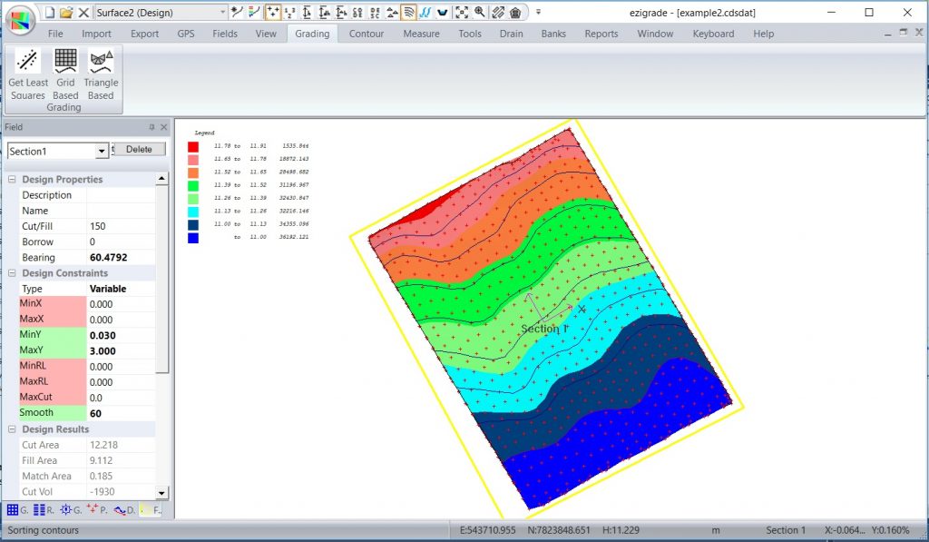
Water flows to edge.
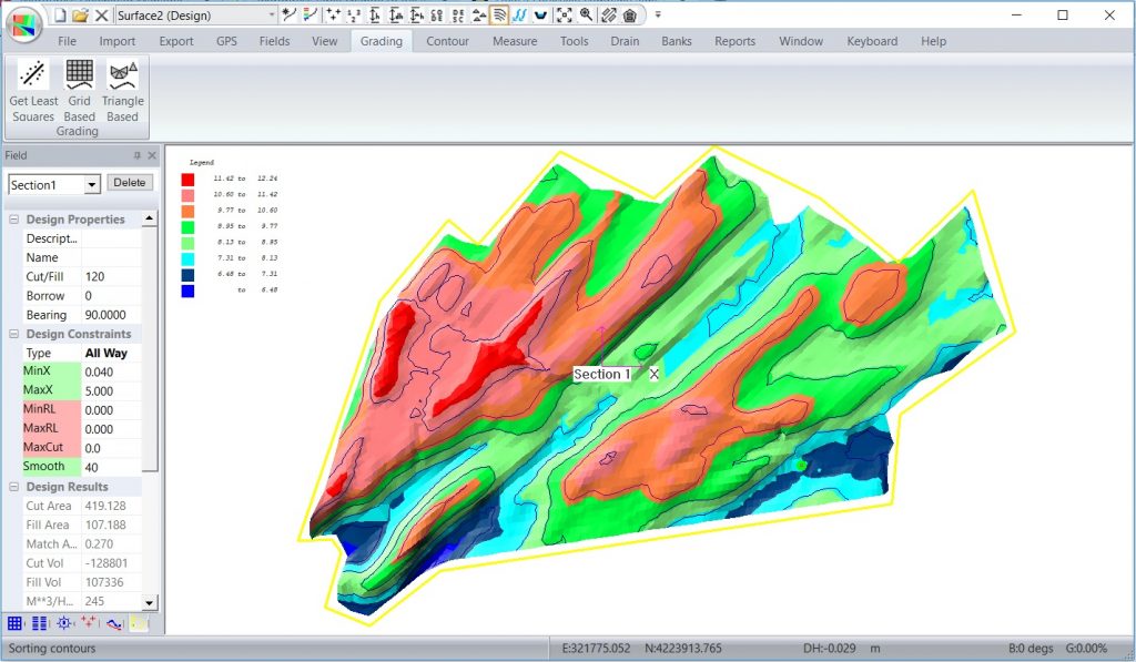
Plane and constrained grade.
Surface Drain:
Sketch in a drain alignment.
Design a profile along the drain either manually or using our best fit algorithm.
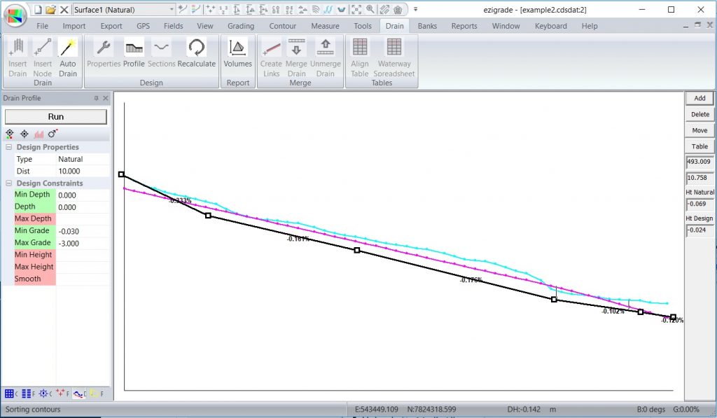
Design a section through the drain.
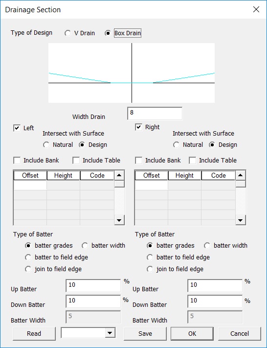
Visually check our design fits our surface correctly. If everything is good merge the design, create a tinnable surface and upload the design to our tractor to enact the design.
Contour Bank
A contour bank is used to break up the field to reduce the length of water run-off. This reduces the maximum velocity and helps reduce erosion. Simply click on the screen to set start position. Enter direction and the grade of the bank.
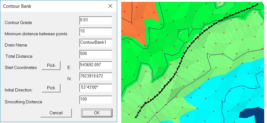
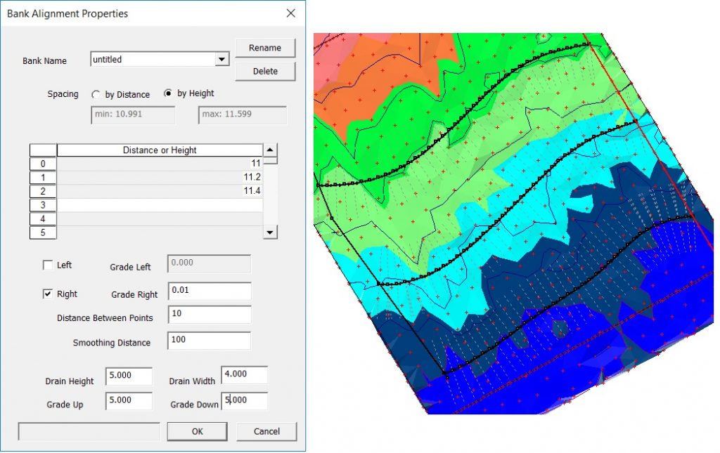
Contour Bank Network
Ezigrade contains an option to specify an alignment and a number of optional stop alignment. You can then autocreate a whole network of contour banks. Run the routine, create a tinnable surface and export directly to your hardware of choice.
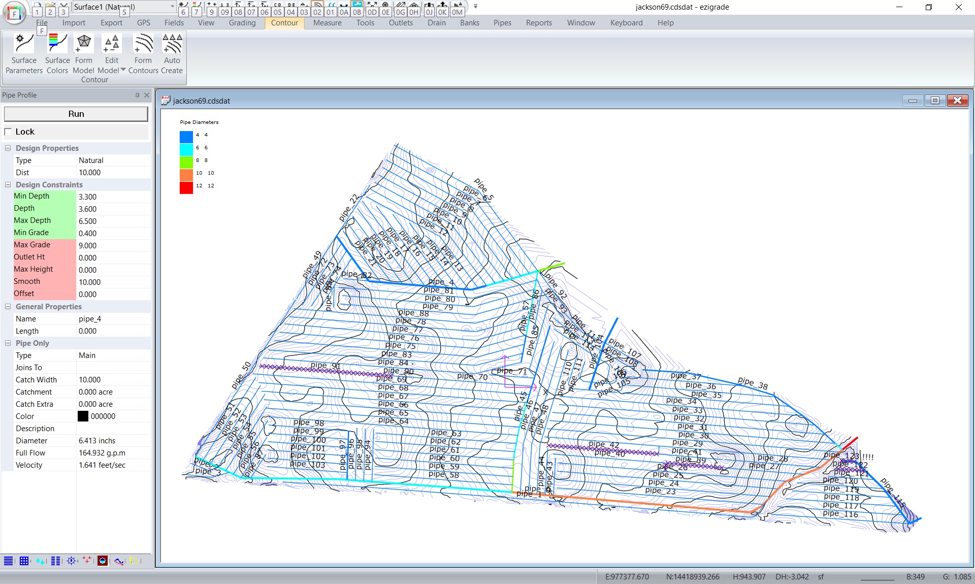
Tile Drainage Design.
Ezigrade contains options to design a Tile network, and auto size pipes etc. Export in appropriate file formats to your grader.
Grading Hardware Compatible
- Level Guide and Farmscan.
- Trimble™ Field Level 11 (FMX and TMX).
- Topcon™ Civil.
- Geologic (AMW)
- Ditch Assist.
- Smart Level.
- Innograde.
- Other systems via landxml and dxf/dwg.
- Lidar data via drone – for example 3DC Sensefly Ebee RTK Drone.
- Ezigrade can also interface directly with your RTK GPS and pickup data directly from NMEA data.
